ALL OVER THE MAP
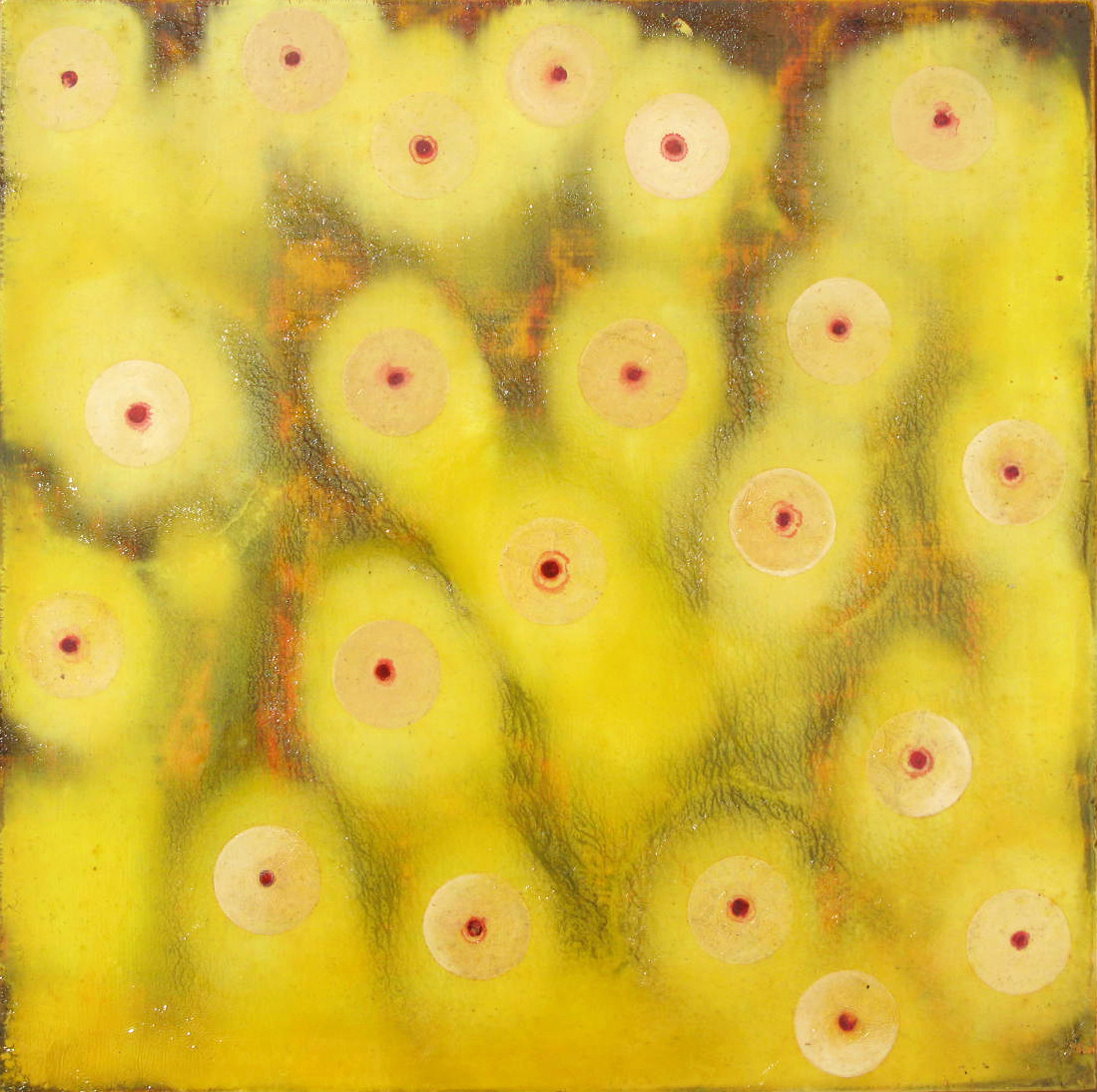
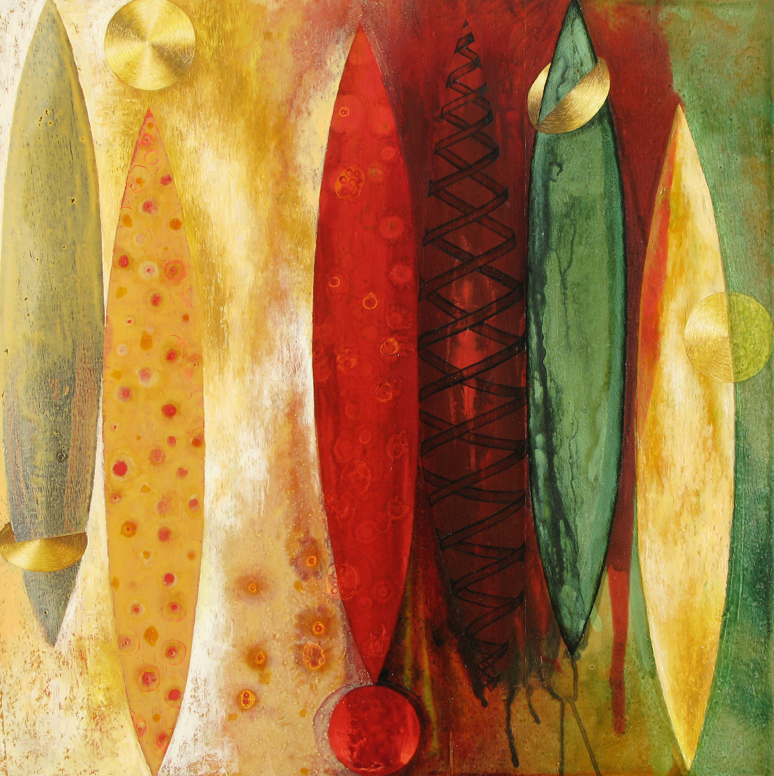
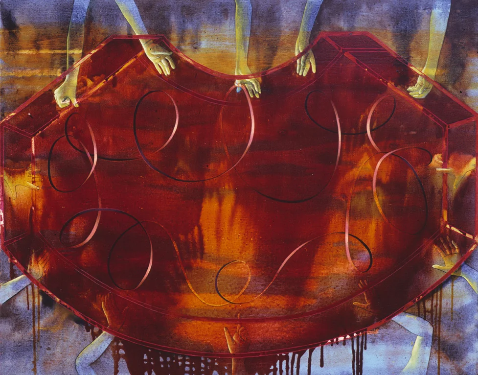
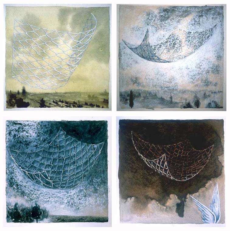
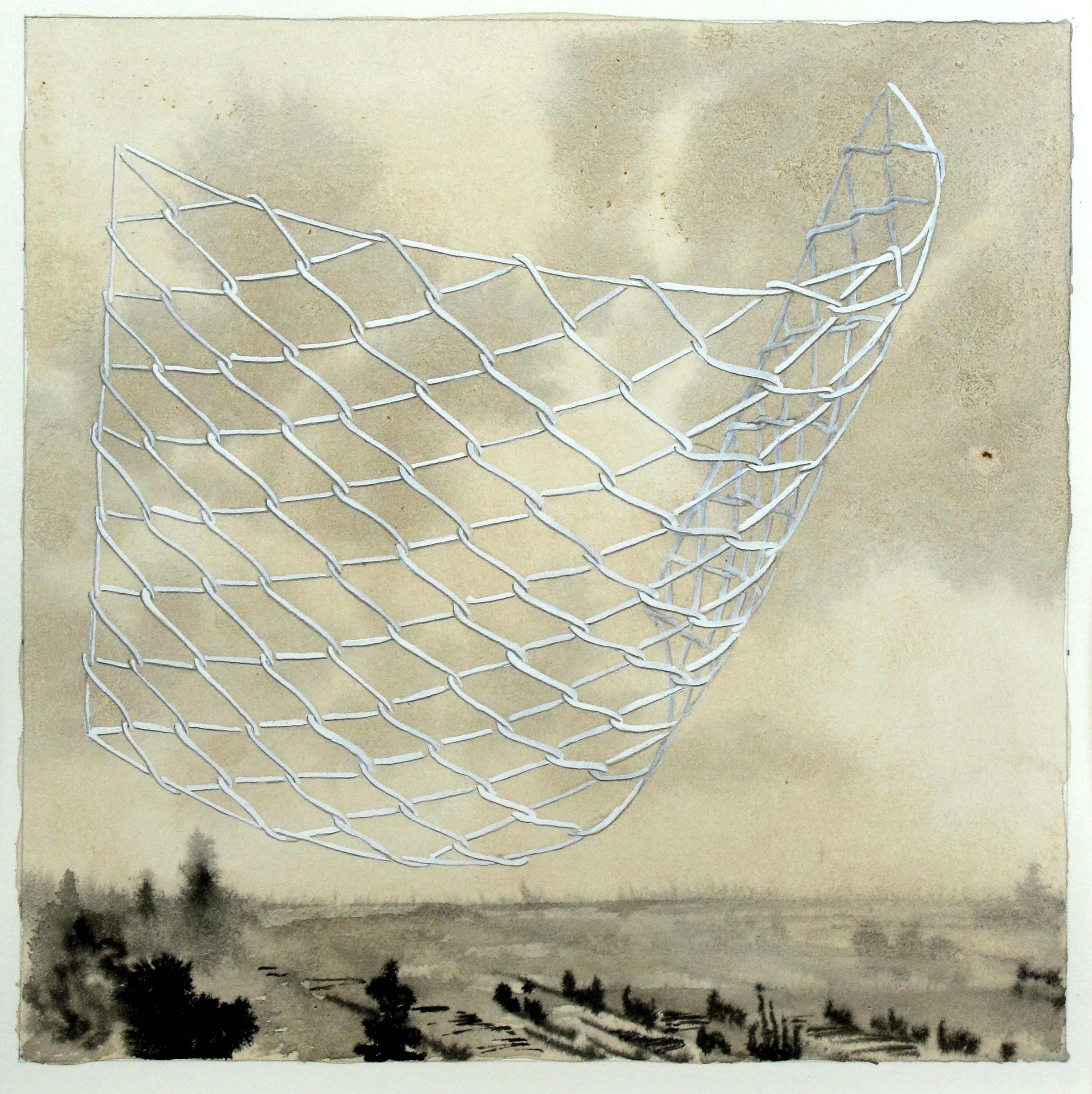
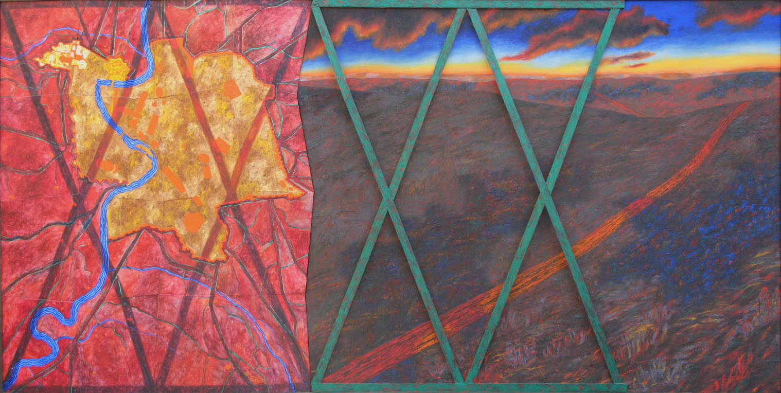
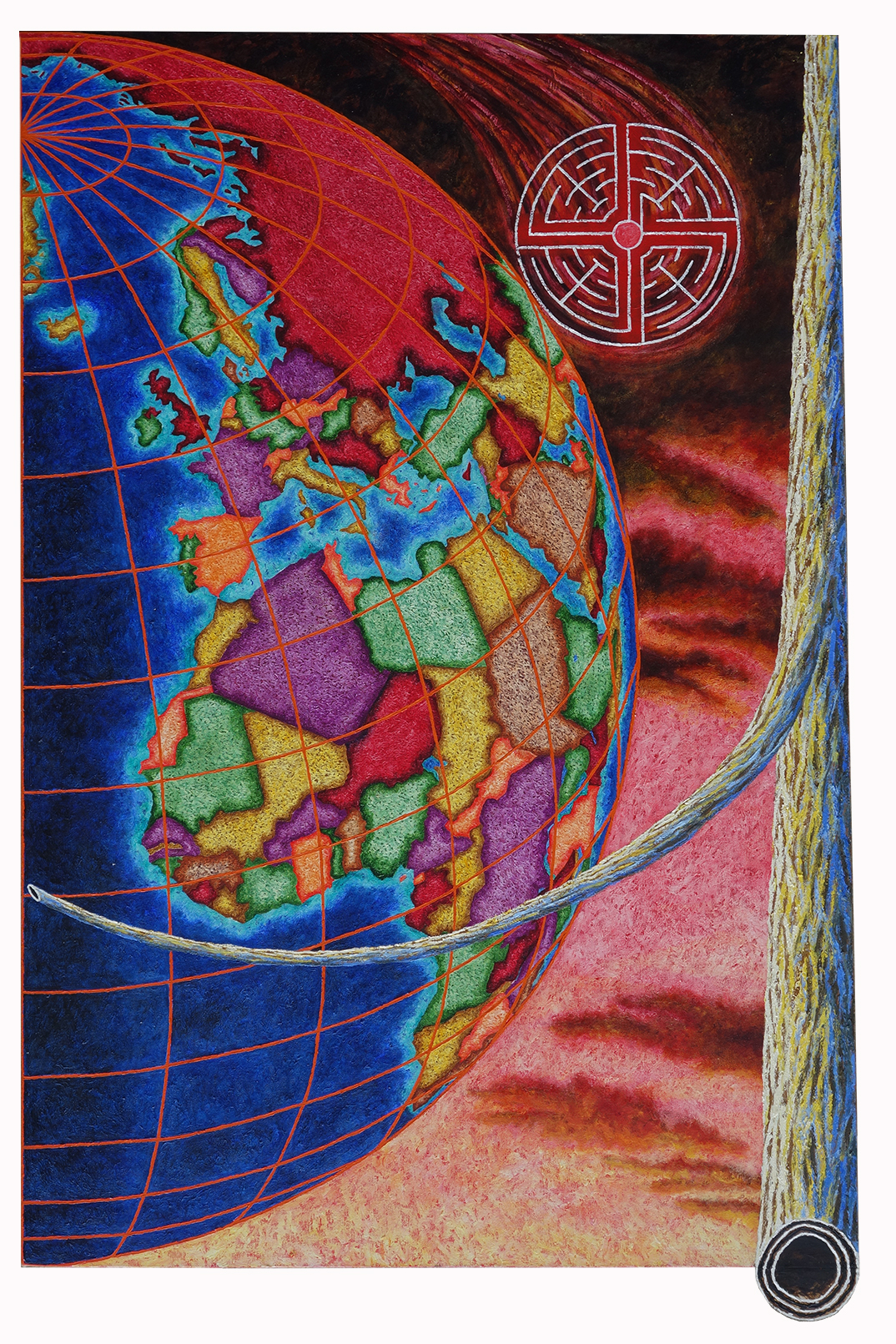
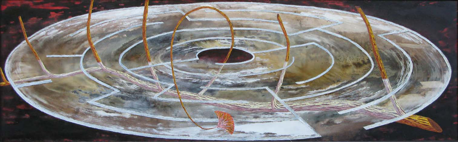
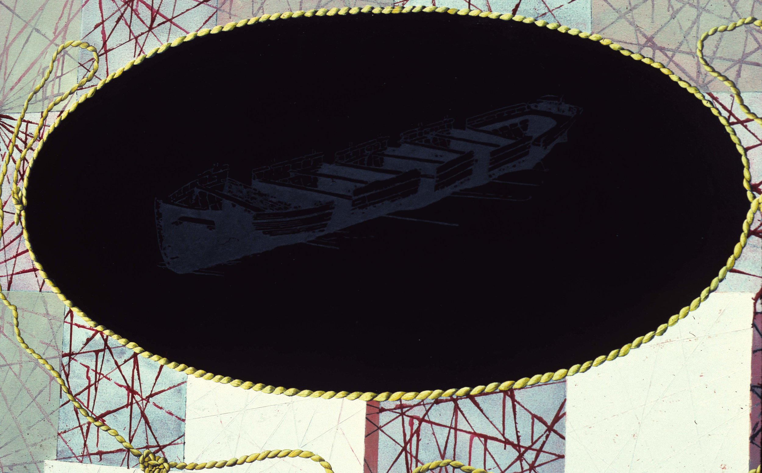
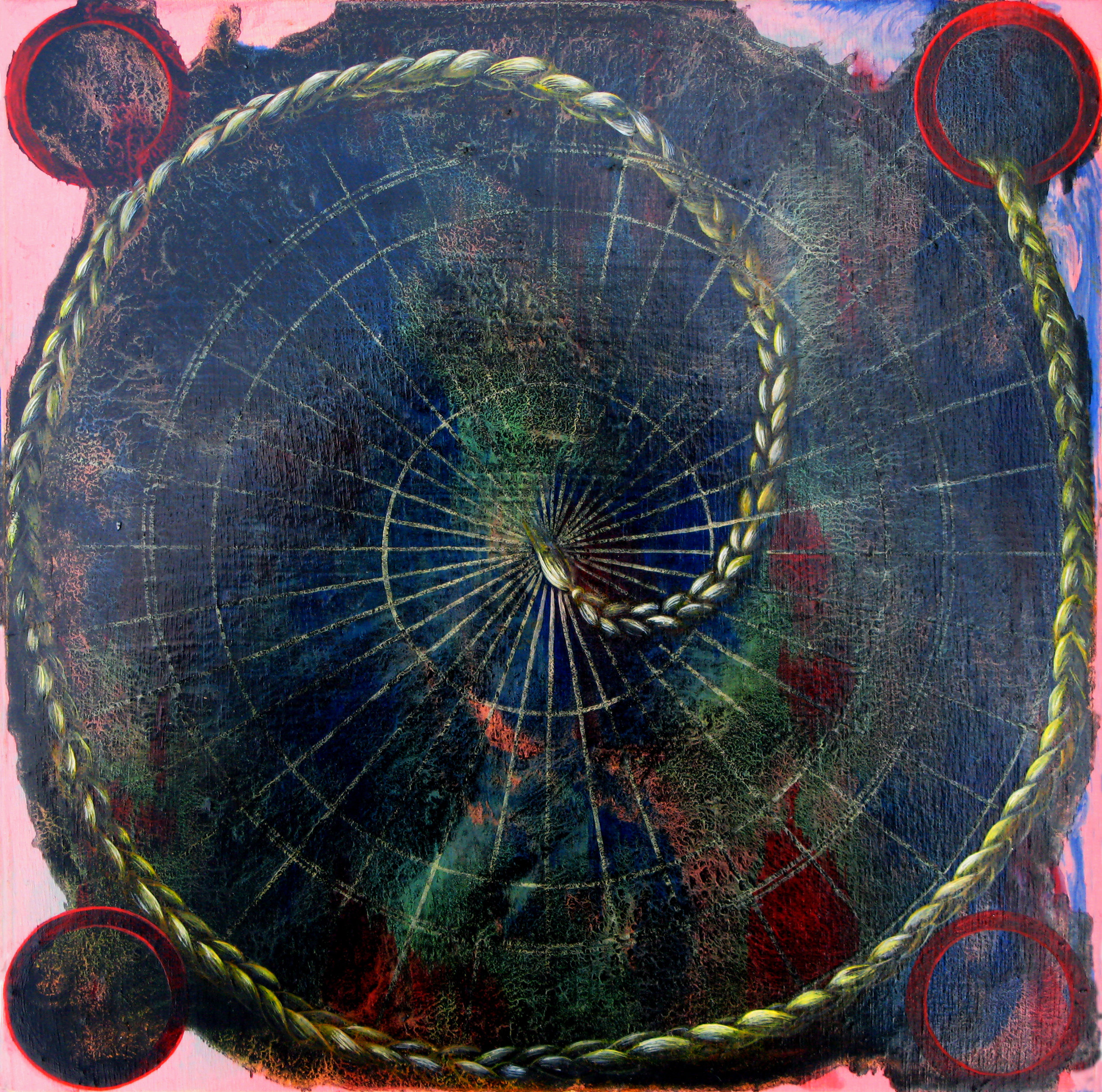
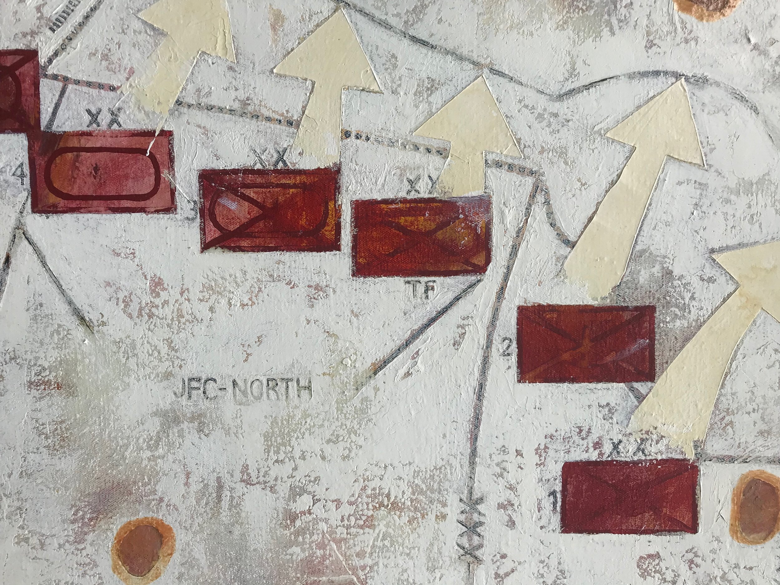
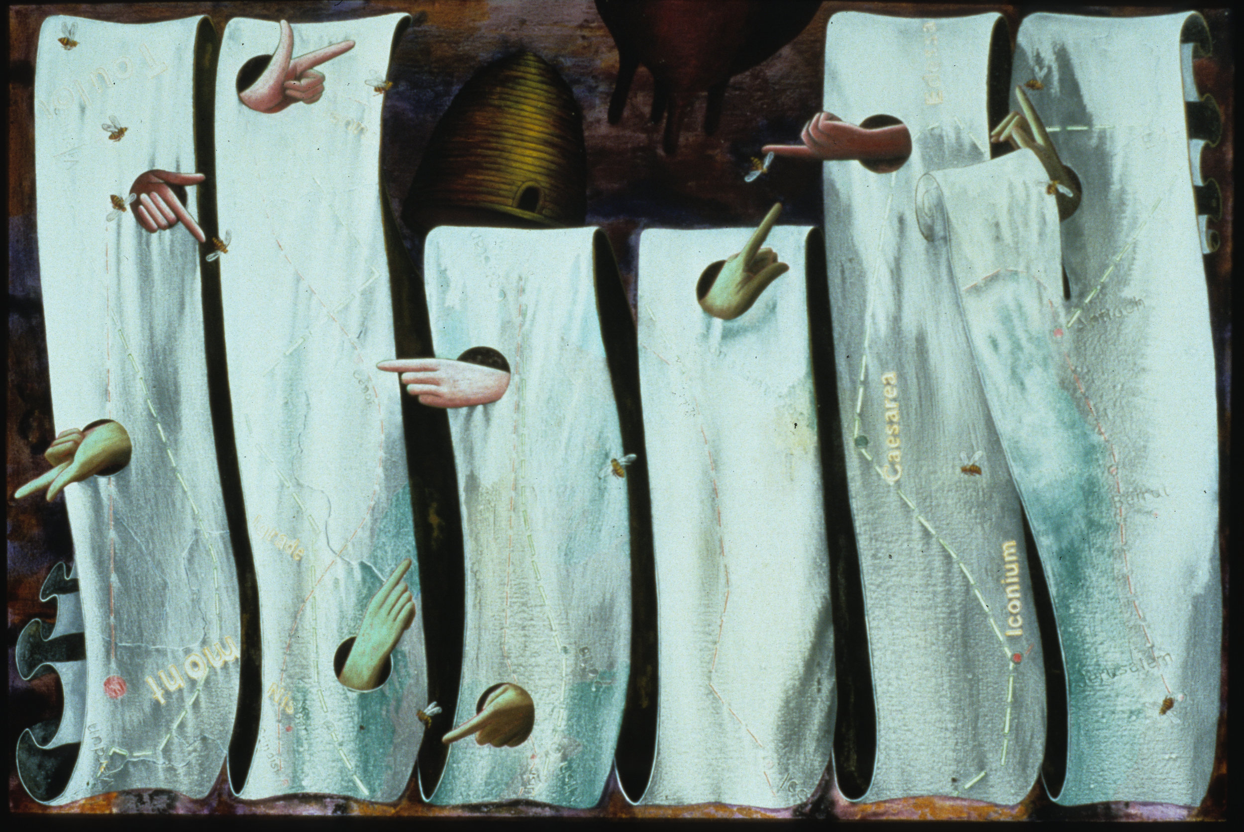
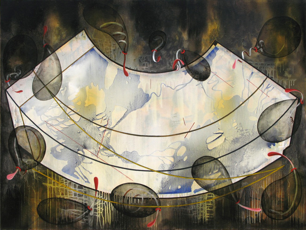
I have been attracted to cartographies on a number of levels: as foils for the traditional illusionistic treatment of depth in painting; as aesthetic abstractions of real and imagined place and space; as embodiments of states of knowledge and world views; as conveyors of ideologies and cosmologies under the guise of objectivity; as enablers and documents of expansionism and imperialism; and as stages for dismantling the privileging of the measured over the immeasurable.
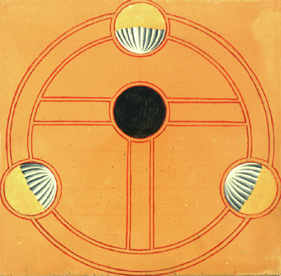
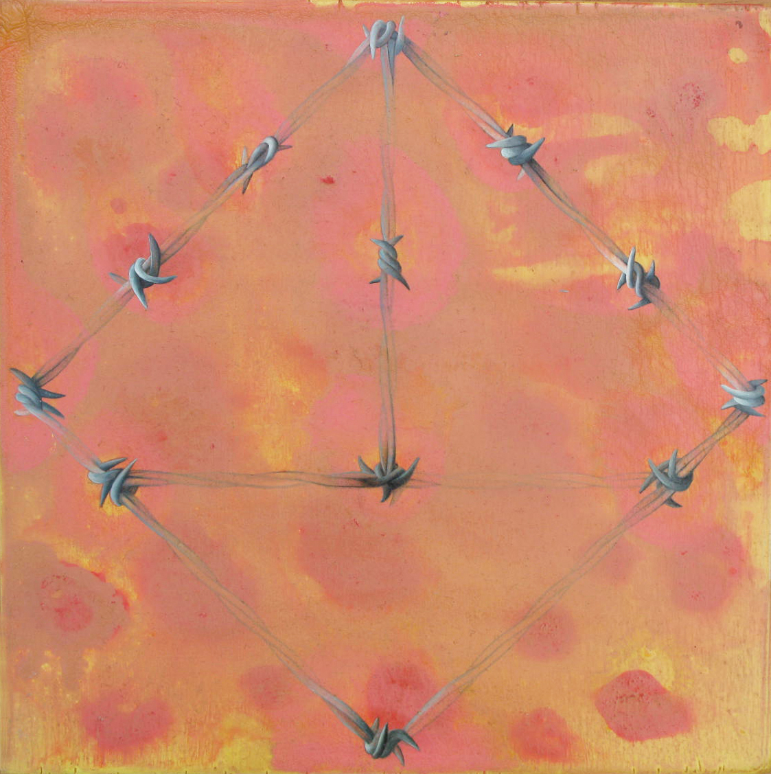
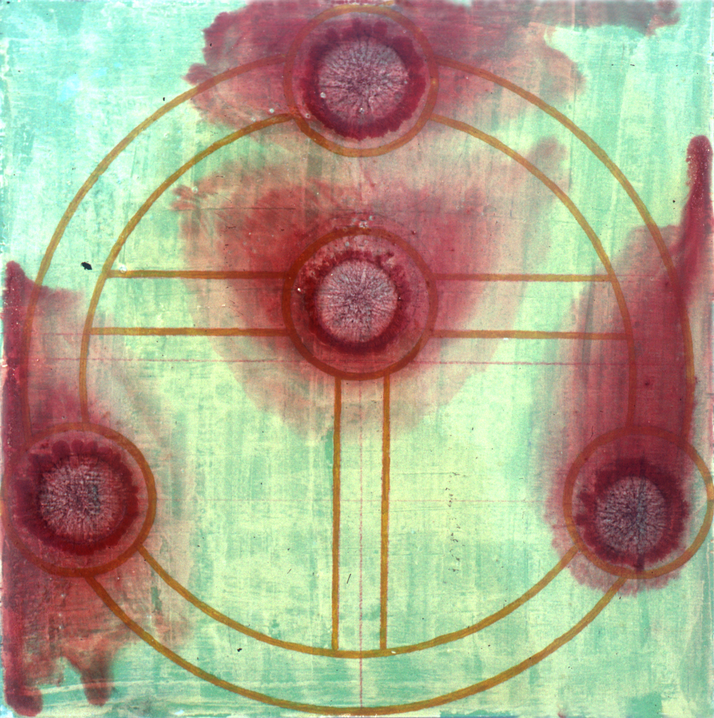
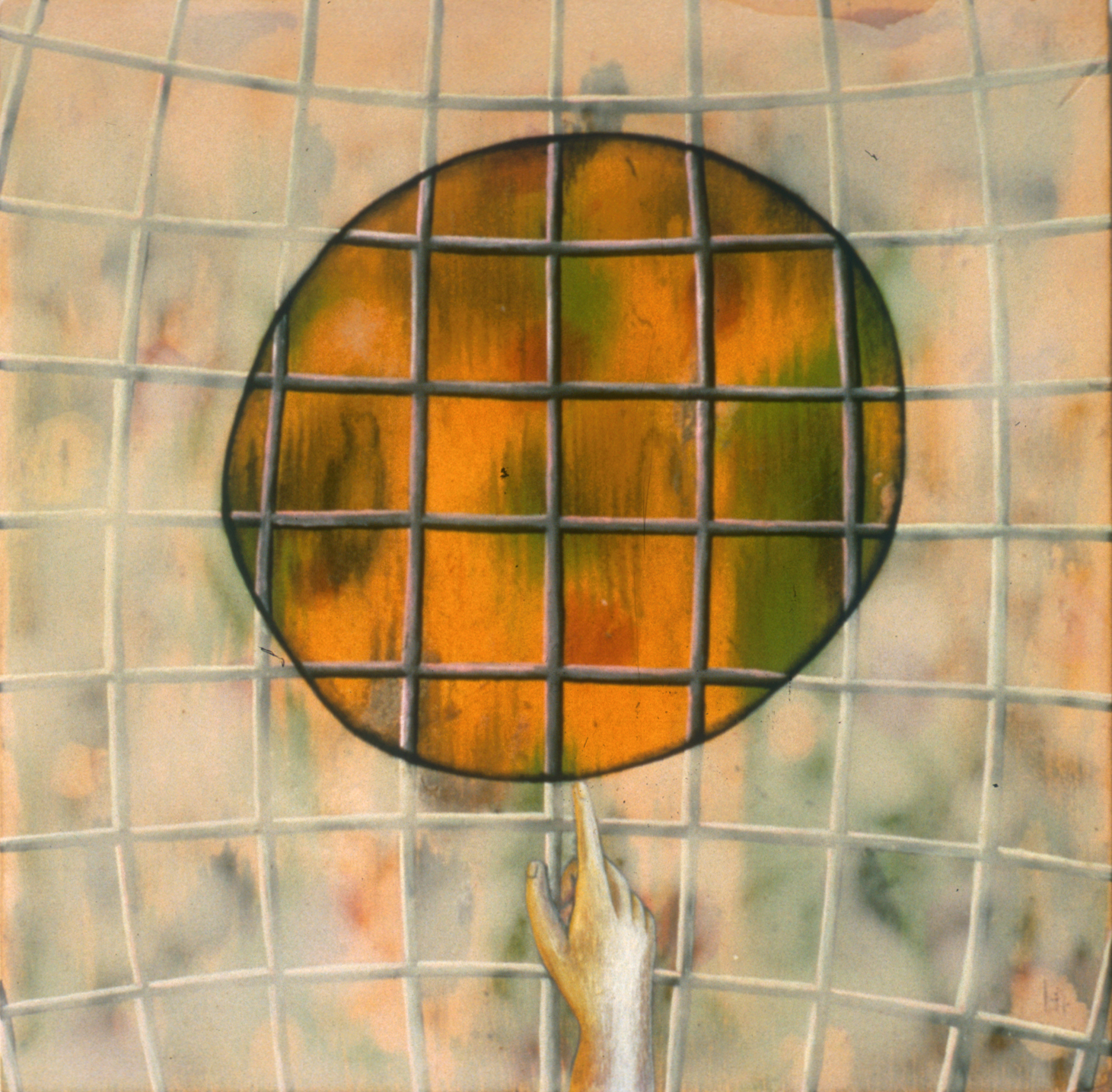
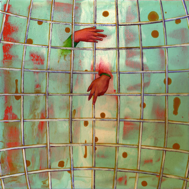
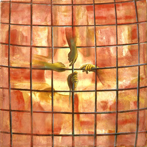
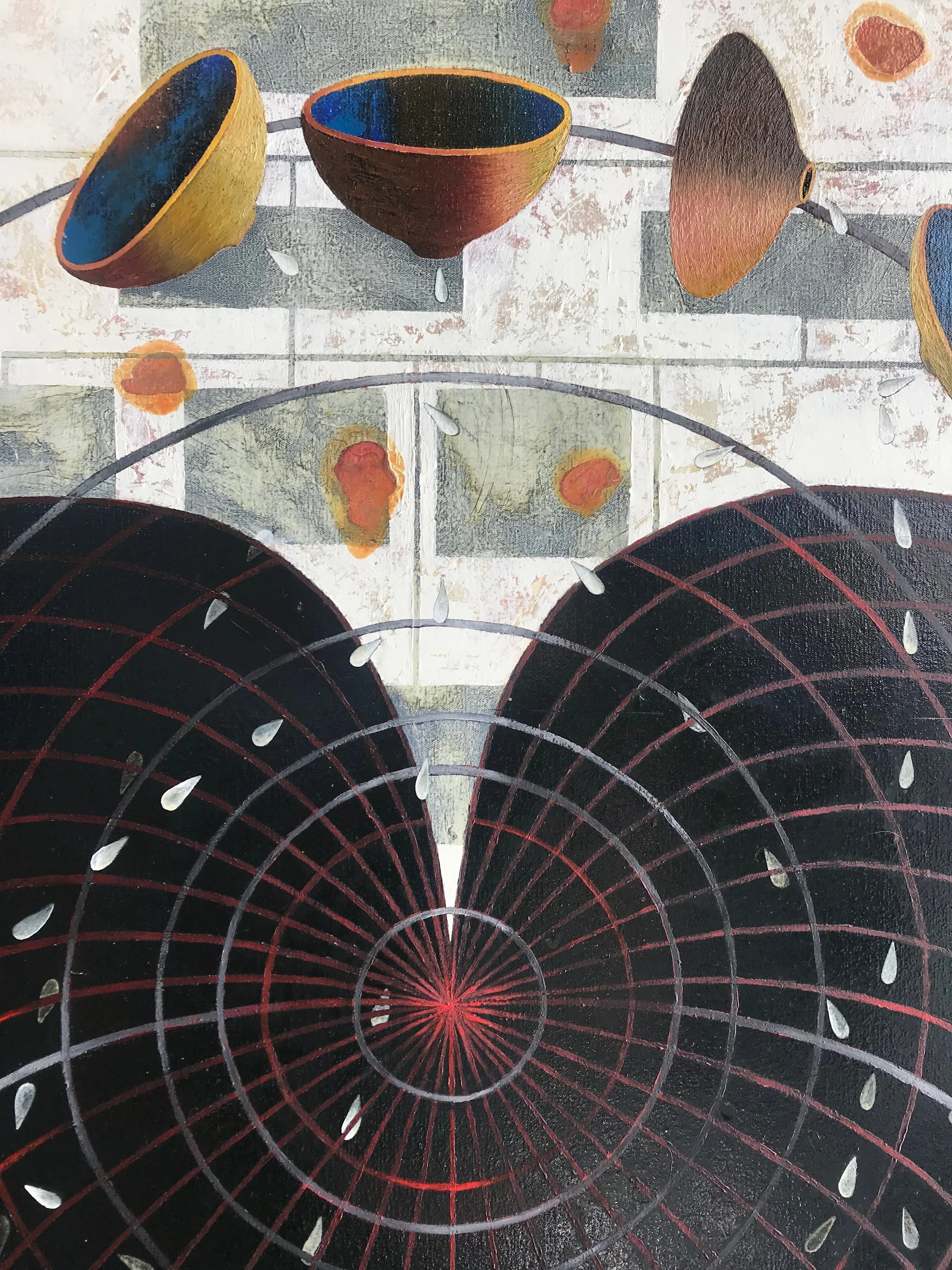
For almost two decades, my paintings moved from aerial views of invented topographies to manipulated diagrammatic spaces influenced by cartographers ranging from Ptolemy and Mercator to Waldseemüller and Gulf War battle plans named after football plays. These representations of remembered and invented spaces embodied elements of paradox, my attraction to and dread of absolutes, and the confrontation between and intersection of conflicting realities, especially those pertaining to gender, the powerful and the disenfranchised, and the analytical versus the intuitive.
Some of my map work was included in Denis Woods’ book, Rethinking the Power of Maps (The Guilford Press, 2010. In 2007, I presented works inspired by cartography at the North American Cartographic Information Society Conference in St. Louis, Missouri. In 2010, I gave a related talk for Information Mapping Dorkbot, at Brillo Box as part of the Contestational Cartographies Symposium at Carnegie Mellon University in Pittsburgh. My work has also been featured on the covers of the following issues of Cartographic Perspectives, the national journal of the North American Cartographic Information Society.
Cartographic Perspectives, cover art and short statement, No. 65, Spring 2010
Cartographic Perspectives, cover and short statement, North American Cartographic Information Society, #63, Spring 2009
Cartographic Perspectives, cover and short statement, North American Cartographic Information Society, #61 Fall 2008
Cartographic Perspectives, cover and short statement, North American Cartographic Information Society, #59 Winter 2008


